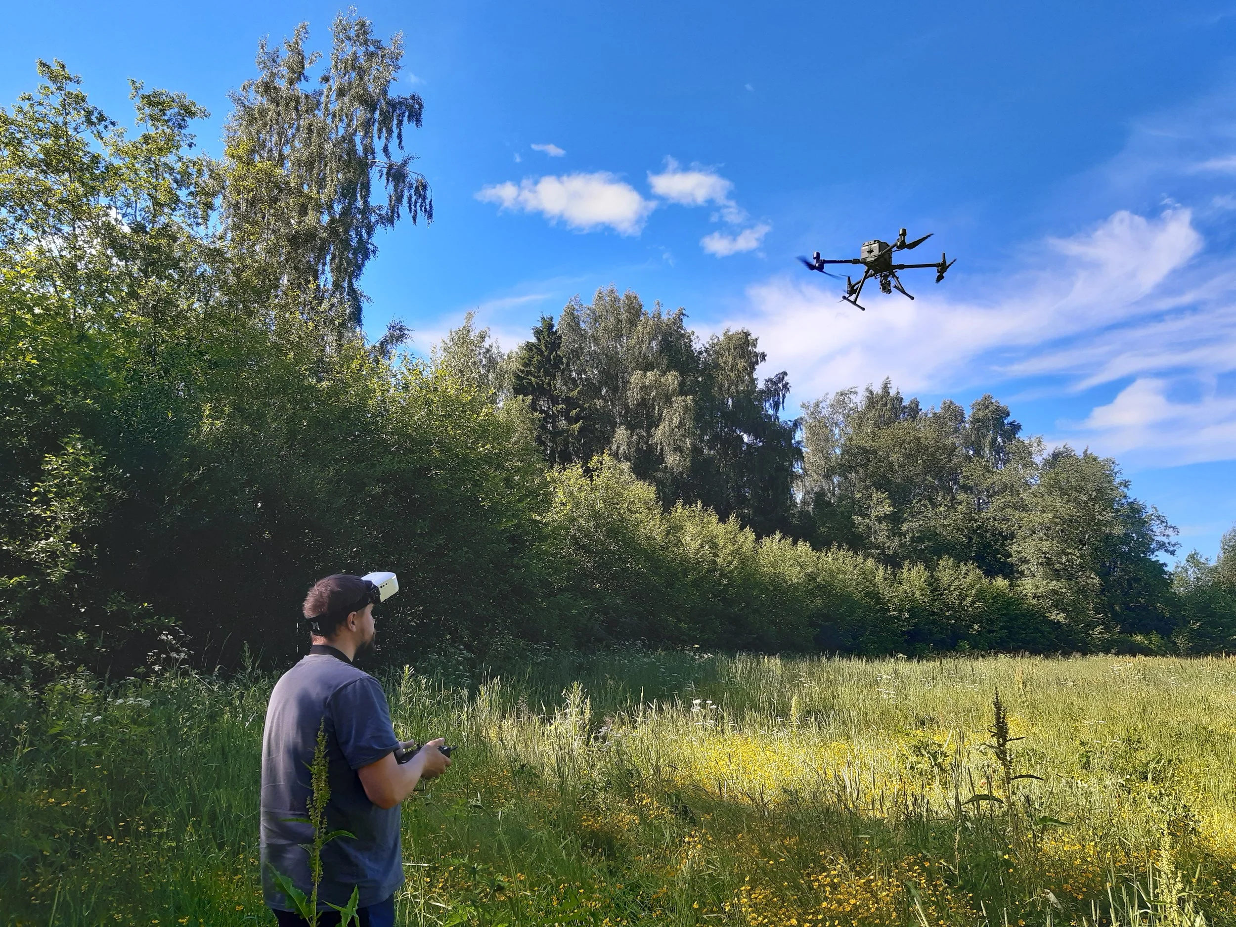
Finding invasive plants can mean hours of walking through dense vegetation and along steep riverbanks. A Swedish–Finnish research collaboration is exploring how drones and artificial intelligence could make that work faster and safer. Early tests show that an AI tool can identify larger patches of Himalayan balsam in aerial images.
Invasive alien species are a major threat to biodiversity, but locating and managing them takes considerable time and resources. Before conservation teams can act, they need to know where the species are growing.
The IHANAT project combines technological expertise at Luleå University of Technology in Sweden with ecological expertise at the Economic Development Centre of South Ostrobothnia in Finland. Together, they are investigating how robotics, automation and artificial intelligence could support invasive species management.
“Finding the plants is an essential first step. By combining drone imagery with AI, we are exploring how to survey larger areas and reduce the need for time-consuming work in difficult terrain,” says George Nikolakopoulos, Chaired Professor in Robotics and AI.
Teaching AI to recognise plants
The team developed an initial image-analysis tool to identify Himalayan balsam. Drone images collected during the summer provided training material, followed by development of the analysis methods during the autumn.
The approach involves teaching an AI model to recognise patterns in vegetation, such as colour, shape and structure. Once trained, it can analyse images and identify areas where the target species appears to be growing. Because the images also contained lupine, the team trained the model to recognise that plant too.
Initial results show that the tool can identify larger patches of Himalayan balsam after training on images of young plants. More training data and further development are needed to improve its performance.
Drones can photograph large areas, while AI can help search the images for plants of interest. This could help conservation teams locate areas requiring attention and reduce the need to enter steep, densely vegetated riverbanks.
From aerial surveys to smarter mowing
Through three webinars, conservation and technology specialists from Sweden and Finland developed 16 ideas for future applications.
One proposal was to expand drone-based monitoring to map several invasive species alongside threatened native plants in a single survey. This could help conservation teams plan their work with a clearer picture of the vegetation.
Another idea focused on roadside mowing. Machinery equipped with plant-detection technology could recognise lupines and automatically adjust mowing operations to help prevent seed dispersal.
“Bringing conservation and technology specialists together helps us connect practical needs with possible technical solutions. The ideas range from mapping several species at once to mowing machinery that can detect lupines and adjust its operation,” says George Nikolakopoulos.
These concepts require further development and field testing.
Connecting technology with conservation
IHANAT—Idea Hub for Arctic Nature and Technology Cluster—is a seven-month project funded by Interreg Aurora and coordinated by Luleå University of Technology. It connects two EU-funded initiatives: ROBODEMO, which supported companies developing technological solutions, and INSPIRE, which focused on invasive species management.